

Apr 2024


Ordinance Survey Map
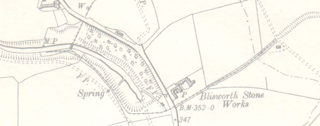
The National Library of Scotland has a huge collect of UK maps covering a period of more than 100 years, these are
available for private (non commercial) reference. The 1899 map covering Blisworth is available to view here :
https://maps.nls.uk/geo/explore/#zoom=17&lat=52.17430&lon=-0.93850&layers=171&b=1
Blisworth Heritage Society © 2024